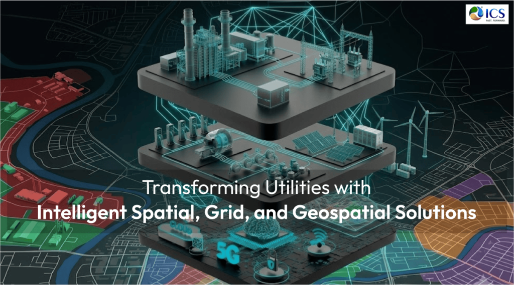
Utilities infrastructure is becoming increasingly complex. Expanding service areas, aging assets, renewable energy integration, rising customer expectations, and the demand for real-time operational visibility are forcing utilities organizations to modernize how they manage networks and infrastructure.
Traditional utility management methods, which often rely on fragmented data and reactive decision-making, are no longer sufficient for today’s operational demands. Utilities now require intelligent, connected systems that improve visibility, optimize performance, and support faster, more informed decisions.
This is where spatial solutions, grid intelligence, and geospatial services are transforming the industry.
The Shift Toward Digitally Connected Utilities
Modern utilities generate enormous amounts of operational and infrastructure data. However, without the right systems in place, much of this information remains underutilized.
Intelligent spatial and geospatial solutions allow utilities to convert raw data into actionable insights by integrating:
- Geographic Information Systems (GIS)
- Asset mapping and spatial analytics
- Grid monitoring systems
- Real-time operational data
- Infrastructure visualization platforms
This digital approach improves how utilities plan, manage, maintain, and expand infrastructure networks.
Why Spatial Intelligence Matters in Utilities
Utilities networks are inherently geographic. Every asset, whether transmission lines, substations, pipelines, transformers, or distribution systems, exists within a physical environment.
Spatial intelligence enables utilities to understand how infrastructure interacts with geography, environmental conditions, population growth, and operational risks.
Advanced spatial solutions help organizations:
- Improve network visibility
- Optimize asset management
- Enhance outage response planning
- Support infrastructure expansion projects
- Reduce operational inefficiencies
By combining location-based intelligence with operational data, utilities can make more precise and strategic decisions.
GIS as the Foundation of Modern Utility Operations
Geographic Information Systems (GIS) have become central to utility modernization efforts. GIS platforms provide a visual and data-driven representation of infrastructure assets, enabling teams to monitor and manage systems more effectively.
Modern GIS capabilities support:
- Asset tracking and lifecycle management
- Network modeling and planning
- Field workforce coordination
- Real-time infrastructure updates
- Integration with operational technologies
GIS also improves collaboration between engineering, operations, and field teams by ensuring everyone works from a unified data environment.
Smart Grid Solutions and Real-Time Visibility
The evolution of smart grids is another major driver of transformation in utilities. Smart grid technologies improve reliability, efficiency, and responsiveness by enabling real-time communication between infrastructure components and control systems.
Grid intelligence solutions help utilities:
- Monitor network performance continuously
- Detect faults and outages faster
- Balance loads more effectively
- Integrate renewable energy sources
- Improve service reliability and resilience
As utilities adopt distributed energy systems and decentralized infrastructure models, smart grid visibility becomes increasingly important.
Geospatial Services Supporting Infrastructure Planning
Infrastructure planning requires accurate, scalable, and data-rich insights. Geospatial services help utilities analyze terrain, land use, environmental conditions, and infrastructure constraints before projects begin.
These capabilities support:
- Route optimization for utility corridors
- Site selection and feasibility analysis
- Environmental and regulatory planning
- Infrastructure expansion and modernization initiatives
By leveraging geospatial data early in the planning process, utilities can reduce project risks, improve resource allocation, and accelerate decision-making.
Improving Resilience Through Digital Infrastructure
Utilities must now prepare for increasing operational risks, including extreme weather events, cybersecurity threats, and growing infrastructure demands. Intelligent spatial and grid solutions improve resilience by providing better visibility into network vulnerabilities and asset performance.
Integrated systems allow utilities to:
- Respond faster to outages and disruptions
- Improve emergency planning and restoration efforts
- Prioritize maintenance based on asset condition
- Support long-term infrastructure resilience strategies
Digital infrastructure is becoming essential not only for operational efficiency but also for service continuity and public reliability.
The Role of Data Integration and Analytics
One of the biggest challenges utilities face is disconnected systems and siloed information. Modern spatial and grid solutions integrate data from multiple platforms into centralized operational environments.
This enables:
- Real-time analytics and reporting
- Better forecasting and planning
- Improved operational coordination
- Data-driven decision-making across departments
As AI and automation continue to evolve, integrated geospatial intelligence will become even more valuable in optimizing utility operations.
ICS: Enabling Intelligent Utility Transformation
At ICS, we help utilities modernize operations through advanced spatial solutions, smart grid technologies, and geospatial engineering services. Our approach focuses on creating connected, data-driven infrastructure environments that improve operational efficiency, visibility, and long-term resilience.
ICS supports utilities organizations with:
- GIS and geospatial engineering services
- Smart grid and network solutions
- Infrastructure mapping and spatial analytics
- Digital utility transformation strategies
- Data integration and intelligent infrastructure planning
Build Smarter Utility Networks with ICS
The future of utilities depends on intelligent infrastructure, connected systems, and data-driven operations. Organizations that invest in spatial intelligence and smart grid solutions today will be better prepared to meet tomorrow’s operational and infrastructure demands. Partner with ICS to transform utility operations through advanced spatial, grid, and geospatial solutions.